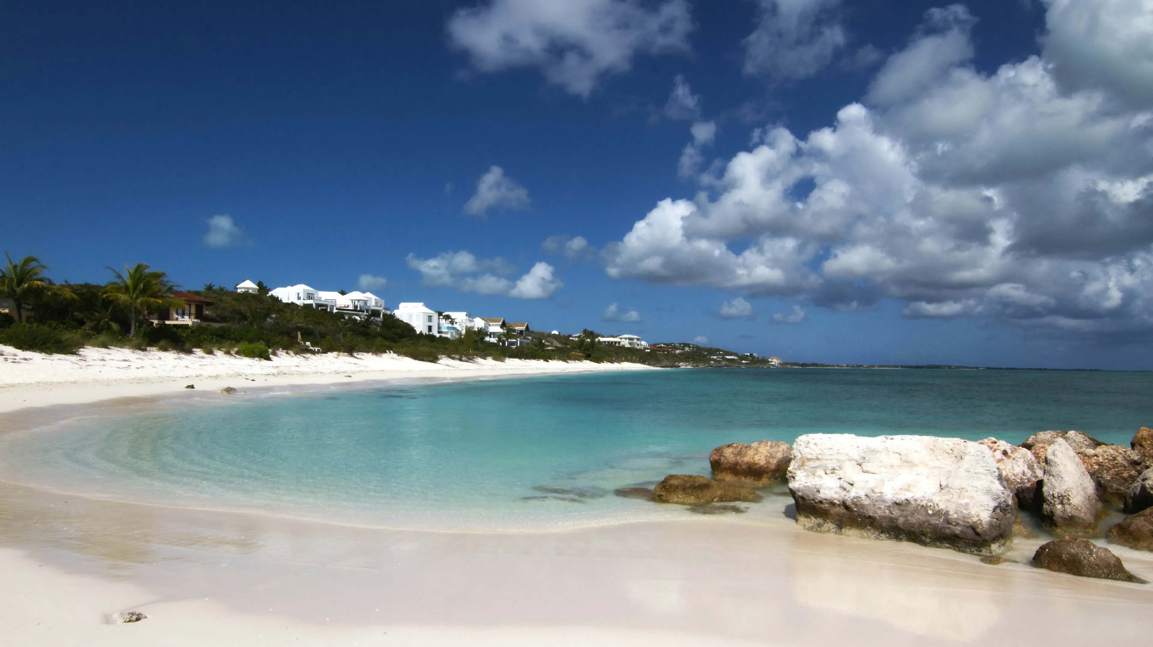
The Caribbean is calmest and quietest for a yacht charter from late April to early June. The strong winter trade winds have eased, the north swells that roll into exposed anchorages have stopped, the holiday crowds have gone home, and the hurricane season is either weeks away or only just open. March and early April are nearly as settled and drier, though busier. The months most people book, late December and January, are sunny and dry but are also the windiest of the year.
That is the short answer. The rest of this guide explains why, and how the picture changes between the Bahamas, the Virgin Islands, the Leeward Islands and the Grenadines. For what a week here actually feels like, see our guide to a wellness approach to the Caribbean; this article is only about timing.
What the figures refer to
The Caribbean is too large for one set of numbers, so we have chosen a reference area: the Virgin Islands, the busiest charter ground in the region and close to the middle of the island chain. Air temperatures in the month table are NOAA’s 1991 to 2020 normals for the airport at Charlotte Amalie, St Thomas. Sea temperatures are NOAA’s monthly averages for Lameshur Bay on St John, a few miles to the east.
Two things stand out. The air barely changes: the normal daytime high is 28.9°C in January and 32.1°C in July and August. And the sea is always warm enough to swim without a second thought, from about 27°C in February to about 30°C in September. Temperature is not what separates a good month from a poor one here. Wind, swell, rain and storm risk are.
The trade winds and the Christmas winds
The trade winds blow across the eastern Caribbean from between northeast and southeast all year. In the settled season from December to May, the meteorologist Chris Tibbs puts the typical strength at Force 4, or 11 to 16 knots, which a yacht’s own instruments will usually show as 15 to 20. This is what keeps the air comfortable at 30°C and why a shaded deck is pleasant at midday.
From late December through January the trades regularly strengthen. Sailors call these the Christmas winds. A Cruising World account of a typical spell describes 20 to 25 knots gusting 30 at anchor in Martinique, lasting a few days at a time and rarely a full week. Squalls bring short bursts that are stronger still.
For a guest, this is the difference between a still anchorage and a restless one. In a strong spell the open passages between islands are lively, the tender ride is wet, paddleboarding is hard work, and yoga on the foredeck may move to the lee side or wait until evening. A good captain will tuck into sheltered water and shorten the hops, and the Virgin Islands are well suited to that. But anyone booking a January week for stillness should know that the wind is part of the bargain.
North swells in winter
The second winter factor is swell. The US National Weather Service office in San Juan defines a local swell season from 1 November to 30 April, when long-period swells generated by North Atlantic winter storms reach the north coasts of Puerto Rico and the Virgin Islands “several times each month”.
These swells arrive under blue skies and have nothing to do with local wind. They make north-facing anchorages roll, close out some beaches for swimming and set up rip currents. The yacht simply moves to a south-facing bay, so they are an itinerary constraint more than a danger aboard, but they are one reason winter water is less settled than the photographs suggest. From May the swell season is over.
Dry season and wet season
At St Thomas, the dry season runs roughly from January to April. February and March are the driest months, each with a normal rainfall under 50 mm. Rain builds from August, and September, October and November are the wettest months at about 135 to 155 mm each. November is, by a small margin, the wettest of all.
Wet-season rain is mostly showers and squalls, not days of grey. Even so, the late summer and autumn humidity is heavy, and the afternoons are hot.
The hurricane season
The Atlantic hurricane season officially runs from 1 June to 30 November. According to NOAA’s National Hurricane Center, the statistical peak is 10 September, and most activity falls between mid-August and mid-October. An average season, on the 1991 to 2020 baseline, produces 14 named storms, of which 7 become hurricanes and 3 become major hurricanes, across the whole Atlantic basin.
The season’s edges are much quieter than its middle, which is why June and November still appear on charter calendars. They are not risk-free. Hurricane Beryl reached category 4 on 30 June 2024 and went on to devastate Carriacou and Union Island in the southern Grenadines, far earlier and further south than habit suggested.
What it means for chartering and insurance
Three practical points follow.
- Fewer yachts. Much of the crewed fleet leaves the Caribbean for the summer, so choice is narrower from July to October.
- Insurance drives the calendar. A named tropical storm is one with sustained winds of 34 knots or more. Yacht insurers commonly restrict or exclude named-storm cover between roughly 10 and 30 degrees north from 1 June to 30 November, and terms tightened further after Hurricanes Irma and Maria in 2017. Where a yacht may be, and when, is often its insurer’s decision.
- Your own cover matters. If you book inside the season, ask your broker in writing what the charter agreement provides if a named storm threatens your dates, and take travel insurance that covers weather disruption. Terms vary by yacht and contract; your broker will confirm the current position.
Month by month
January. Dry, bright and the windiest month. Expect at least one spell of Christmas winds and a north swell or two. The first week carries New Year crowds and prices; the rest of the month is busy but calmer ashore.
February. The driest part of the year begins. The trades are usually a little gentler than in January, though strong spells and swells still occur. High-season demand continues.
March. The driest month, with steadier wind. For guests who want dependable sunshine with fewer blustery days, March is the best of the classic winter months. Anchorages are busy.
April. Warming, still dry, and the swell season ends on the 30th. After Easter the anchorages thin out noticeably.
May. Our choice for a restorative voyage. No Christmas winds, no north swell, warm water at about 29°C, few other yachts and the hurricane season still ahead. Showers become more likely as the month goes on.
June. The season opens on the 1st, but early-season storms are uncommon. The first half of June behaves much like May, a little hotter.
July. Hot and humid, with squalls on passing tropical waves. A watchful month, and the fleet is thinning.
August. Activity climbs from the middle of the month. Sea temperature approaches its annual high.
September. The statistical peak. We do not recommend planning a Caribbean charter for September.
October. Wet, and still inside the most active period until mid-month. Risk falls away towards the end.
November. The wettest month at St Thomas and the first of the swell season, but storms are now unlikely, yachts are returning and the islands are quiet. The second half is the better half.
December. Two different months. The first two to three weeks are gentle, green after the rains and relatively uncrowded. From about the 20th, the wind builds and the holiday peak begins.
Christmas and New Year
The two holiday weeks are the most expensive and most crowded of the year. For the British Virgin Islands, one charter specialist puts holiday rates at 15 to 20 per cent above ordinary winter weeks at the time of writing, with New Year priced above Christmas. Seven nights is the standard minimum, Christmas charters generally have to finish by 26 December, and New Year charters cannot usually start before the 27th or 28th. Popular anchorages are full, and the best yachts are taken many months ahead.
They also coincide with the Christmas winds. For a family voyage tied to school holidays this is still a wonderful week, and our guide to what families can expect covers how to plan it. For anyone free to choose, the first half of December offers similar weather for less money and far fewer neighbours. Our guide to charter costs explains how the rate is built.
How the four cruising grounds differ
| Cruising ground | Latitude (approx.) | Winter character | Main caution | Quiet, settled window |
|---|---|---|---|---|
| Bahamas and Exumas | 24°N | Cooler; cold fronts from the north | Winter fronts; hurricanes Aug to Oct | April to early June |
| Virgin Islands (BVI and USVI) | 18°N | Trades, short sheltered hops | Christmas winds, north swells, holiday crowds | Late April to early June |
| Leewards (St Barths, Antigua) | 17 to 18°N | Trades, longer open passages | Christmas winds on passage; swell in open roadsteads | Late April to May |
| Windwards and Grenadines | 12 to 13°N | Trades, wind shadows behind high islands | Brisk channels between islands; storms not ruled out | April to June |
The Bahamas are the exception. They lie well to the north and have a real, if mild, winter. At Nassau the typical daytime high is 26 to 27°C from December to March, against 29°C in the Virgin Islands, and the sea is about 24 to 25°C. Winter weather comes from cold fronts moving down from Florida, with winds of 20 to 30 miles per hour (roughly 17 to 26 knots) behind them, most often between December and February. Summer is hotter than further south, with highs around 33°C. The month table above therefore flatters a Bahamian January and undersells a Bahamian May. We could not find published normals for the Exumas themselves, so treat Nassau as a guide.
The Leeward Islands share the Virgin Islands’ climate but not their shelter. Islands are further apart, so a windy week means longer, livelier passages.
The Windwards and Grenadines sit furthest south. High islands such as St Lucia and St Vincent cast wind shadows that can reach 10 to 20 miles to leeward, while the channels between them are open to the full trade. Grenada is usually described as below the hurricane belt, and some insurers have historically drawn their line at 12°30’N, which is why yachts gather there in summer. Beryl is the reminder that this is a tendency and not a guarantee.
Which months suit a quiet voyage
For a wellness retreat at sea, where the point is still mornings, long swims and sleep, we would choose in this order: May, then late April, then the first half of June, then the first half of December. March suits guests who want the driest weather and do not mind company.
If your dates are fixed to January or February, choose the ground for shelter. The Virgin Islands and the leeward side of the Grenadines cope with a windy week far better than an itinerary built on open passages. Those who want the same warmth with lighter winter winds might compare the Maldives month by month, where January to March is the calm season.
How we rate calm
The 1 to 5 calm rating in the month table is our editorial reading of typical wind and sea state for a guest at anchor and under way. It is not a forecast. It draws on the sourced patterns above: the Christmas winds, the November to April swell season and the hurricane climatology. From August to October the rating is marked down for storm risk, even though the days between weather systems can be quiet. Crowd ratings are likewise our judgement, based on the December to April high season and the holiday peak. Temperatures refer to the Virgin Islands (air at Charlotte Amalie, St Thomas; sea at Lameshur Bay, St John), rounded to the nearest degree.
When you have dates in mind, our Caribbean destination page is the place to start, or simply tell us what you are looking for.
Conditions vary from year to year and island to island; treat these as typical patterns, not promises, and let your captain and broker advise on the week itself.